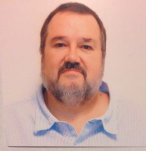
This site was created to chronicle my travels for friends and family who might be interested.
Given the uncertain future of social media, I’ve decided not to use a platform like Facebook for this purpose, but rather a plain old self-hosted blog where I retain ownership of the data and have at least some control over how it is used. Yes I realize this is using a decades-old solution to a modern day problem, but if we’ve learned one thing from Hollywood, it’s that old tech is best when the machines inevitably run amok.
As a hobby project, it should be considered a constant work in progress. My focus is on the content, but formatting here may change from time to time as I discover better ways to present it. I am supposed to be retired after all, so no fair critiquing character kerning or image aspect ratios.
Happy trails!

Lookin’ good. Thank for sharing your adventures.
This is great. Particularly the map. But landing points only show GPS coordinates. Could they be made to show place names?
Yes, but I have to spend forty bucks to upgrade the software to do that. I started out with the free version for testing purposes. Didn’t think anybody would notice, but it seems you’ve found your way here unprompted! Never underestimate the power of Daddy Dean at the helm.
Well, you must have spent the forty bucks. I was prepared sell off some squirrel meat to get you a gift card. Thanks! And the bouncing current location is way cool!????
In case you’re looking for something else to do, dates stayed at each stop would be helpful.
Hmm. The posts themselves are dated of course. I’m a little hesitant to allow myself to be tracked too easily via the map. You never know when one of my political enemies will take to stalking me. Of course Giuliani will soon be available to defend me, so maybe it is possible. I’ll think about it.